RAPID GEO DATA: for the moment you need it most
Industry USe CASES
-
Oil & Gas, Energy
• Rapid rupture localization to direct shut-off valves and minimize environmental spill radius before ground crews can deploy
• Remote safety assessment of hazardous zones to protect repair teams from exposure to invisible gas plumes or unstable terrain
• Immediate visual evidence of containment efforts to mitigate regulatory fines and manage reputational fallout during public incidents
• Instant verification of third-party interference or sabotage alarms to distinguish between sensor errors and genuine security breaches
-
Insurance
• Remote verification of total property loss when physical access is restricted by floodwaters, debris, or government cordons
• Accelerated liquidity release for policyholders through automated, data-driven payout triggers that do not require on-site adjustment
• Objective arbitration of complex disputes, such as distinguishing between wind and water damage, using timestamped forensic imagery
• Immediate portfolio-wide damage scaling to accurately reserve capital and manage solvency requirements hours after the event
-
Security, NGO
• Real-time mapping of passable evacuation routes to bypass blocked bridges and roads during civil unrest or infrastructure collapse
• Immediate confirmation of facility integrity and perimeter security to determine "stay or go" protocols during communication blackouts
• Rapid identification of safe landing zones and logistics corridors for the deployment of emergency relief supplies
• Visual proof of hostile actor movement or blockades near assets to trigger private security extraction protocols
-
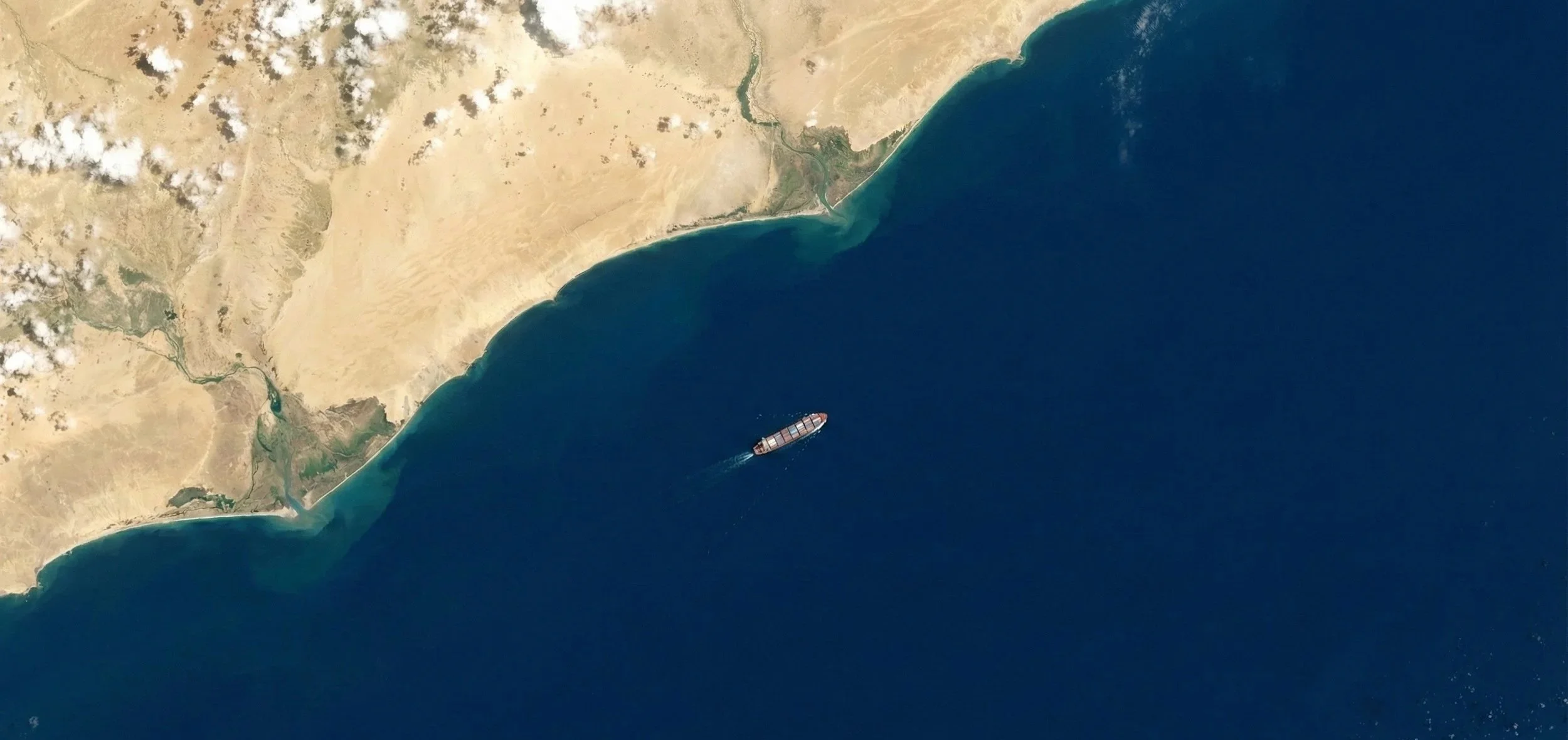
Logistics
• Early visual detection of port congestion to enable proactive vessel rerouting before competitors react to the bottleneck
• Independent validation of "Force Majeure" events, such as fires or blockages, to defend against contract disputes and penalties
• Real-time assessment of trapped inventory status during geopolitical crises or sanctions enforcement to calculate financial exposure
• Visual quantification of choke-point severity to accurately forecast delivery delays and manage downstream client expectations
• Detection of illicit ship-to-ship transfers and "dark fleet" activity to prevent regulatory breaches and cargo seizure
• Immediate localization of hijacked or distressed vessels when AIS signals go dark to accelerate recovery operations